New on Unearthing Optimism: Growing resilient communities starts with trees. LISTEN NOW

Why Is It So Hot and How Can Mapping Tree Canopy Help?
Learn why your city feels hotter than ever and how trees are impacting heat on your street.
June 17, 2026
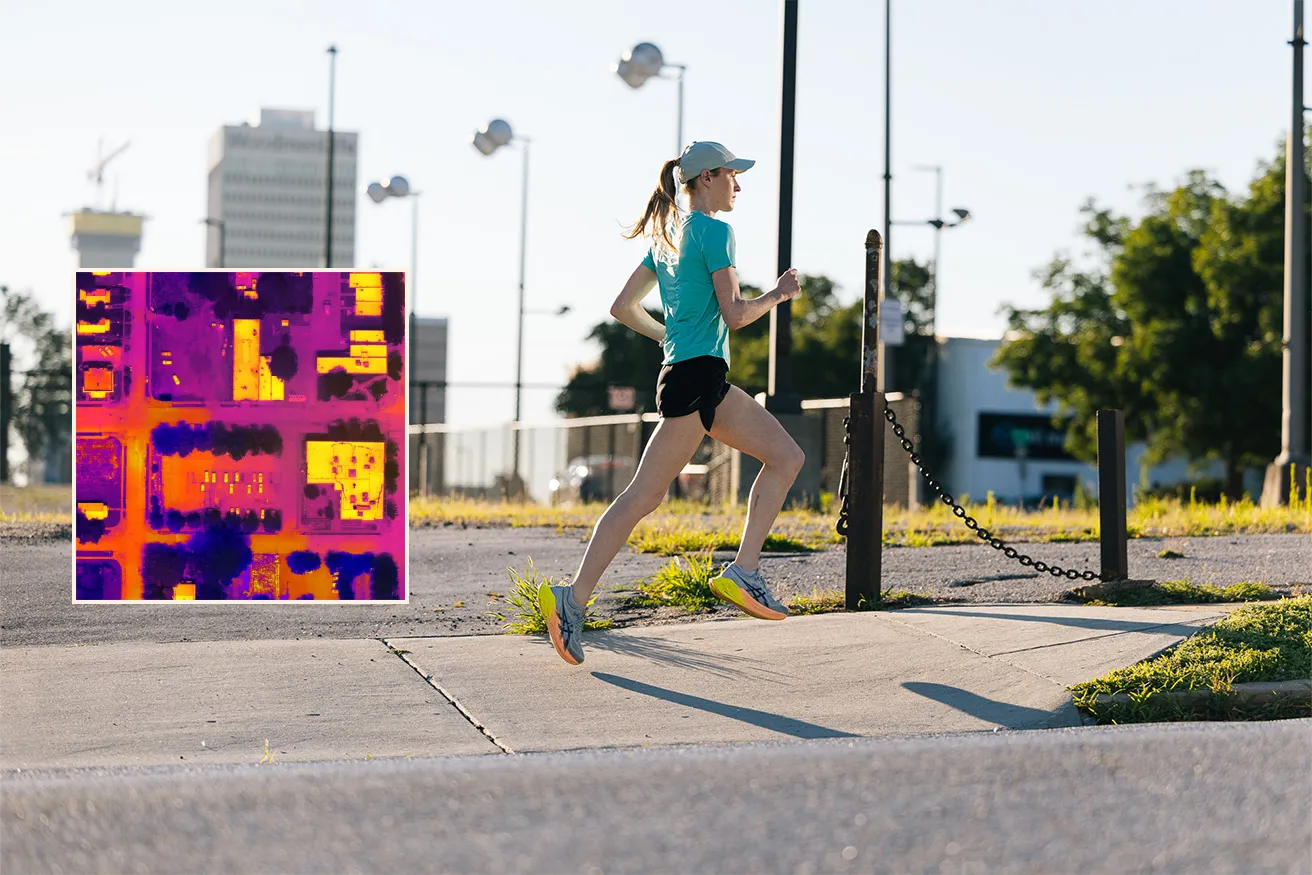
Excessive heat is rising — but so is our ability to fight it with precision and purpose.
When planted in the right place, a tree holds transformative power. It cools overheated pavement, filters polluted air, and supports better health outcomes by providing mental and emotional relief to the people living nearby.
How hot is your street?
This map shows the heat index of cities and towns and the density of tree canopy cover. Enter your city in the search bar in the upper right corner and toggle the map to explore how more trees correlate with cooler temperatures — and see the state of trees and heat on your street.
Why is it so hot in my city?
The last 10 years have been the hottest on record, and people living in cities are especially feeling the heat. That's because rising temperatures combined with lots of hard surfaces and sparse tree canopy coverage trap and hold heat, in what's known as the urban heat island effect. This can cause cities to feel up to 20 degrees Fahrenheit warmer than surrounding rural areas.
Today, the cooling power of trees is needed more than ever. The Arbor Day Foundation is on a mission to establish healthy urban canopies through a strategic, data-informed approach that blends science, local expertise, and a focus on long-term impact.
How do we map heat and trees?
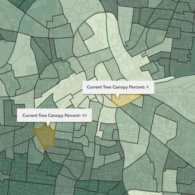
To identify the most heat-vulnerable areas, the Arbor Day Foundation leverages exclusive data sets from NatureQuant, a technology and research company that’s redefining how we measure access to nature.
NatureQuant’s tools combine public data, satellite imagery, and image-recognition software to quantify how much access a neighborhood has to nature. What once took years to analyze can now be visualized block by block, making it easier than ever to pinpoint where trees (and shade) are needed most.
Another way we map canopy is through TreeCanopy.US, the first-ever nationwide software platform designed to assess and monitor community tree canopy across the United States. Created by the Arbor Day Foundation, in partnership with the USDA Forest Service and PlanIT Geo, this browser-based tool gives communities and organizations clear, easy-to-understand data in a visual format to guide tree planting and urban forestry projects.
TreeCanopy.US offers interactive maps that show not only how much tree cover exists today, but how it’s changed over time — helping policymakers, nonprofit leaders, and everyday residents make informed decisions about where trees are needed most.
Because when you can see the gaps, you can start to close them — one tree, one neighborhood, one canopy at a time.
Technology + Trusted Local Partners = Maximum Impact
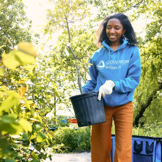
Once data and mapping help identify the need, it’s the Arbor Day Foundation’s dynamic network of local planting partners who help bring this work to life. From Spring 2024 to Spring 2025 alone, the Foundation engaged more than 270 organizations nationwide.
With deep roots in their respective communities, these trusted organizations bring essential on-the-ground knowledge to ensure every tree planted will thrive — because it was chosen for that specific place, at that specific time, for a specific reason.
Rooted in strategy to get trees where they can have a sustained impact, the Arbor Day Foundation and its partners are setting a new standard for community tree planting to address extreme heat — which is now the deadliest weather hazard in the U.S. Fortunately, trees are one of the most cost-effective, scalable solutions available to cool cities, shade streets, and help people live healthier, more resilient lives.